New way to view photos in Google Earth

For more than five years, since we first learned of Panoramio, photos have been a big part of Google Earth. Being able to fly around and view geo-referenced photos in Google Earth is a great experience. Today, that experience got better.

Google has just enhanced the photos layer with clusters, making it much easier to find and browse photos on the map. To get started, make sure that you’ve enabled the Photos layer in the left layers panel, and then zoom in anywhere on earth. As you get closer, you’ll see icons begin to appear; click one, and you’ll see a screen similar to this:

cluster.png

You can then click any item int he filmstrip to quickly view it, or use the left/right arrows on your keyboard to browse through them.

As always, you can add your own photos to Google Earth by simply uploading them at Panoramio.com.

Google maps: New Street View imagery of historic sites in Italy and France

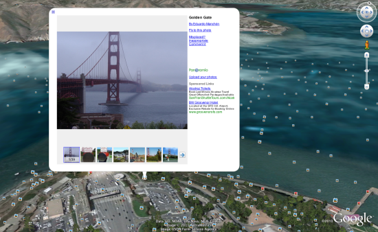
We’ve been busy pedaling the Street View trike around the nooks and crannies of storied sites in Europe, including palaces, monuments and castles, so you can explore them in Google Maps with Street View.

Starting today, you can view some of the most historic and architecturally significant landmarks in Italy and France, including UNESCO sites in Rome, the center of Florence and stunning chateaux in the French countryside.

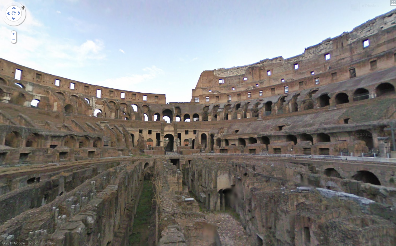
In addition to seeing the exterior of archaeological sites like the Imperial Forum and the Colosseum in Rome, you can now explore inside the Colosseum and imagine yourself viewing naumachiae—simulated sea battles for which the Colosseum was filled with water—or speaking with statesmen inside the Imperial Forum.

Inside the Colosseum, Rome

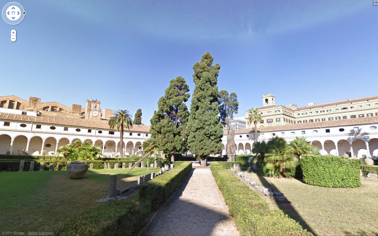
In few clicks you can navigate through centuries of history. Start at the birthplace of Rome, the Palatine Hill, where the mythical founders of the city, Romulus and Remus were found and saved by a she-wolf, and where the most ancient buildings of the city are located. Follow the Appian Way, a little path that became one of the most strategically important roads of ancient Rome. After the long walk, experience the splendor of Imperial Rome at the Thermae (Baths) of Diocletian—ancient wellness and cultural centers with 33 acres of pools, gymnasiums and public libraries.

Baths of Diocletian

After wandering around Rome, you can fast forward in time to witness the celebrated architectural wonders of the Italian Renaissance, including Giotto’s Campanile (bell tower) and Brunelleschi’s Cupola (dome) in Santa Maria del Fiore in Florence. While in Florence don’t miss the opportunity to walk through Ponte Vecchio and shop at the famous artisan jewel stores built on top of it!

Santa Maria del Fiore, Florence

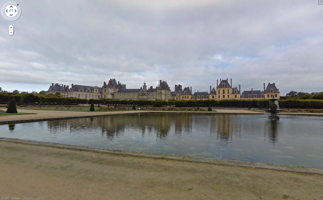
In France, you can view picturesque chateaux and indulge your fantasies of living like French royalty by taking a virtual stroll around the beautiful Fontainebleau.

Château de Fontainebleau

Start exploring these sites in our Street View gallery, or find your favorite historic spots directly in Google Maps.

Geotagging photos with Panoramio and Google Latitude

It is 9 a.m. and the thermometer shows -15°C. I have a Nexus S with Google Latitude in my left pocket and my new Lumix LX-5 in the right one. I am in Davos and I am ready for a fantastic day of skiing when I decide to use the new feature of Panoramio: geotagging photos with Google Latitude.

Panoramio is a community photos website that enables digital photographers to geo-locate, store and organize their photographs — and to view those photographs in Google Earth.

Google Latitude allows you to share your location with friends and view their location on a map. When enabled, Google Latitude History allows you to store your previous locations and this allows you to match your photos with the locations stored in Google Latitude History.

By combining Panoramio and Google Latitude your photos get geotagged automatically as the time stamp of the photos is matched with your location record in Google Latitude History. To use this feature you need to explicitly enable it in your Settings page in Panoramio. With your permission, Panoramio will access your Google Latitude History to find out your location at the time when your photos are taken, so make sure the time in your camera is correct and it matches the value you entered in the Panoramio Settings page.

Using Google Latitude while skiing allows you to find your friends when you get lost on the slopes, and at the same time it allows you to focus on taking nice photos not worrying about the location where you are taking them.

Mapping photos within the city is normally not a problem as you can easily remember street names, points of interest, etc. It is much more difficult to do it in the countryside and that is why I decided to give the feature a whirl while skiing in Davos:

Thanks to Google Latitude, my photos were geotagged just after uploading them in Panoramio. The day was great, snow was perfect, weather was amazing and when I arrived home my photos were already geo-positioned.

For more information about this feature please check our help content and as always we will be happy to hear your feedback in the Panoramio forum.