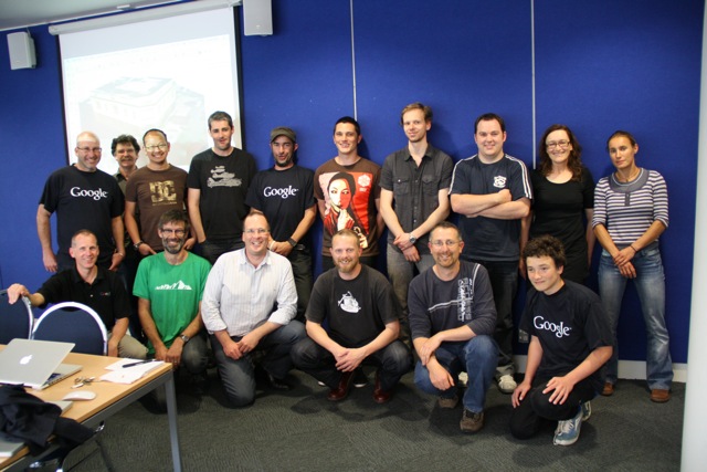
Last week, local volunteers in Christchurch and Dunedin New Zealand invested a day of their time learning how to create 3D models using Google SketchUp. The workshops focused on learning how to geo-model, a process that involves creating 3D models of buildings from photographs for display in Google Earth.
The workshop was led by local architect and geo-technology expert Jason Mill of ZNO, who was inspired to organize the events following the recent earthquake in his hometown of Christchurch. As an architect, Jason recognized the value of having a publicly accessible digital model of the city, and has invested considerable time over several years modeling the central business district of Christchurch.
The value of these models took on new meaning when many of the heritage buildings in town disappeared, leaving the community to decide what should stand in their place.
Five hours away, the city of Dunedin was unaffected by the earthquake, but given its large number of heritage buildings, local residents there decided that it shouldn’t assume that they will be there forever. They suddenly felt a greater sense of urgency around creating a historical record of these buildings.
Historic preservation and city planning are two reasons that many people model their town, but there are numerous other benefits. Local business owners are keen to be represented on the 3D map, enabling virtual tourists another means to locate them on the Internet. Downtown organizations responsible for promoting their city are other beneficiaries. Exploring a destination virtually, whether for business or leisure, is becoming as common as reading a web site.
Google supports these workshops because it aligns with our mission to build a comprehensive atlas of the world online. This atlas is a dynamic, collaborative, open platform for visualizing, sharing, and searching geographic information—whether it’s in your local neighborhood or on the other side of the globe.
By providing free authoring tools like SketchUp and Building Maker, we’re making it easy to introduce 3D buildings to the map. Maps are no longer just 2D static images on paper, they’re living reflections of the local world around us. Everyone has the ability to help shape the map and contribute their local knowledge, experiences and points of view. Adding 3D buildings to the map is just one way to achieve that.
Local residents such as those in Christchurch and Dunedin are doing more than just putting their cities on the map, they’re contributing to an atlas of the world, and becoming the curators of the special places that their cities have to offer.
Posted by Bruce Polderman, Product Manager