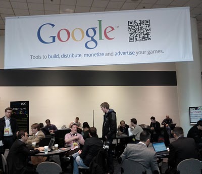
Today, the annual Game Developers Conference (GDC) officially kicks off in San Francisco. From browser technologies to cloud storage solutions, Google has many products and services that can be useful to game developers. Until now, it was hard for developers to track down information on how Google can help them build, distribute and monetize their games. This is why we are excited to release Google Game Developer Central.
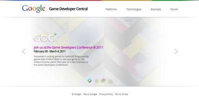
Google Game Developer Central provides an overview of Google products and services that are particularly relevant to game developers. You’ll be able to explore different platforms like Chrome, learn about technologies such as GWT, WebGL and HTML5, and check out monetization options like AdMob.
This is just the first iteration of Google Game Developer Central. In the next few months, we plan to add additional content to make this an even better resource for all game developers. If you’d like to give us feedback on how to improve the site, please join our developer forum or for those of you at GDC, stop by our booth on the expo floor. We look forward to meeting you in person!
By Ian Ni-Lewis, Game Developer Relations Team