Update (11/8/10): For those interested in reading more about the history of this dispute, consider checking out Stefan Geens’ thorough post over at Ogle Earth.
Yesterday we became aware of a dispute that referenced the border between Costa Rica and Nicaragua as depicted on Google Maps. This morning, after a discussion with the data supplier for this particular border (the U.S. Department of State), we determined that there was indeed an error in the compilation of the source data, by up to 2.7 kilometers. The U.S. Department of State has provided a corrected version and we are now working to update our maps.
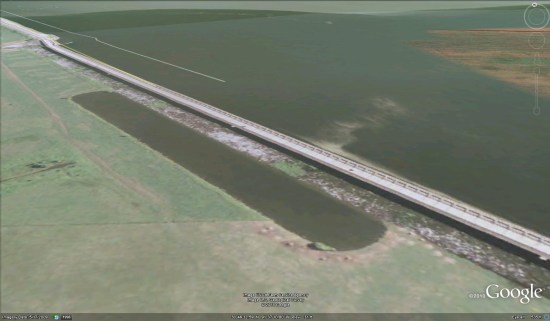
 Current, incorrect depiction of the San Juan River boundary
Unlike the image above of our current depiction, the corrected version will follow the east bank of the San Juan River going northward, nearly to the Caribbean. It will then turn eastward and follow the southern shoreline of a large lagoon, Laguna los Portillos. This depiction follows the demarcation laid out in the First Award of Arbitration of 1897, which affirmed the Cañas-Jerez Treaty of 1858.
It is our goal to provide the most accurate, up-to-date maps possible. Maps are created using a variety of data sources, and there are inevitably going to be errors in that data. We work hard to correct any errors as soon as we discover them.
Given the complexity of the issue, I thought that I’d take this opportunity to provide some additional historical context.
The dispute in this area goes back to at least the mid-19th century, and both the International Court of Justice and the United Nations have weighed in. The dispute mainly centers around control of the mouth of the San Juan River, and was recently reignited because of dredging activity in this location.
In 1888, U.S. President Grover Cleveland was called upon by Nicaragua and Costa Rica to arbitrate the dispute. That year, the New York Times published President Cleveland’s decision. The 1888 Arbitration upheld the 1858 treaty and its terms.
 The New York Times, 25 March, 1888
Then, in 1897, Cleveland sent Edward P. Alexander to do a more detailed Arbitration Award for this region. Alexander went into great detail on the San Juan river boundary and drew the map depicted below:
 Map attached to the Sept. 30, 1897 Arbitration Award
Once our updates go live in Google Earth and Maps we will be depicting the border according to the most recent and definitive records available. But as we know, cartography is a complex undertaking, and borders are always changing. We remain committed to updating our maps as needed.
Posted by Charlie Hale, Geo Policy Analyst

 (via ‘Textularia’ at the GEC), seen here: