Pennsylvania State University has just released another short video in the series titled “Geospatial Revolution”. This is the fourth 15 min. episode outlining virtues of geospatial technologies and how they can assist scientists and local communities.
Episode 4 is divided into four chapters. The first chapter explains how experts studying climate change use digital maps to monitor glacier ice melt, deforestation and carbon emissions over time. Another chapter explains how geospatial technology can help aid workers anticipate food shortages around the world. The following chapter explores how geospatial technology helps track the spread of disease. And the closing chapter highlights the Map Kibera project, which empowered the people of an unmapped area of Nairobi, Kenya to map their essential facilities and provide a voice for the more than 200,000 residents.
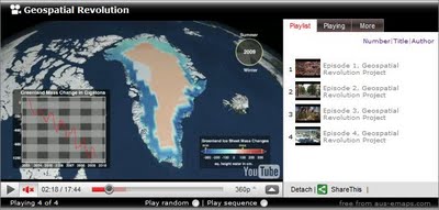
Bookmark and share all 4 episodes via aus-emaps.com YouTube video player.
Related Posts:
Geospatial Revolution

