The 1:50 000 scale geological maps for England, Wales and Scotland are available digitally as part of the Digital Geological Map of Great Britain (DiGMapGB-50) dataset and are made available as a WMS service.
Deprecating Tables and Records feeds of the Spreadsheets API
At Google, we value quality, effective developer products. APIs are something we develop and release often. In support of this, we offer many APIs in our Labs program that allows our users to test APIs in an experimental setting.
After more than two years in service, we have made the decision to deprecate the Table and Record feeds of the Google Spreadsheets API. Having thoroughly tested these feeds and received lots of your feedback, we feel that the functionality provided by these feeds is something much better satisfied by the List and Cell feeds in the API.
Our deprecation plan for these APIs will keep these feeds in service for an additional year from today’s date.
If you are a current user of the Table and Record feeds, we highly recommend that you take the time to migrate over to the List and Cell feeds. Since the List feed works very similarly to the Records feed, this should be a smooth process.
As always, if you have any questions, feel free to use the Spreadsheets API forum.
Google Earth: Take a festive tour for St. Patrick’s Day
People all over the world today are celebrating Saint Patrick’s Day in many different ways. You might walk in a local parade, spot a leprechaun, get pinched for not wearing green, bake some corned beef and cabbage, or even dare to drink a green pint.
For me, this holiday is not just about enjoying a feast with friends (even though I love baking the soda bread) – it’s also about going back to my Irish family heritage. Since Google Maps with Street View is available in Ireland, I went back to one of my favorite spots, Roundstone fishing village, that I visited two years ago. The winding, coastline roads are just as I remember them.
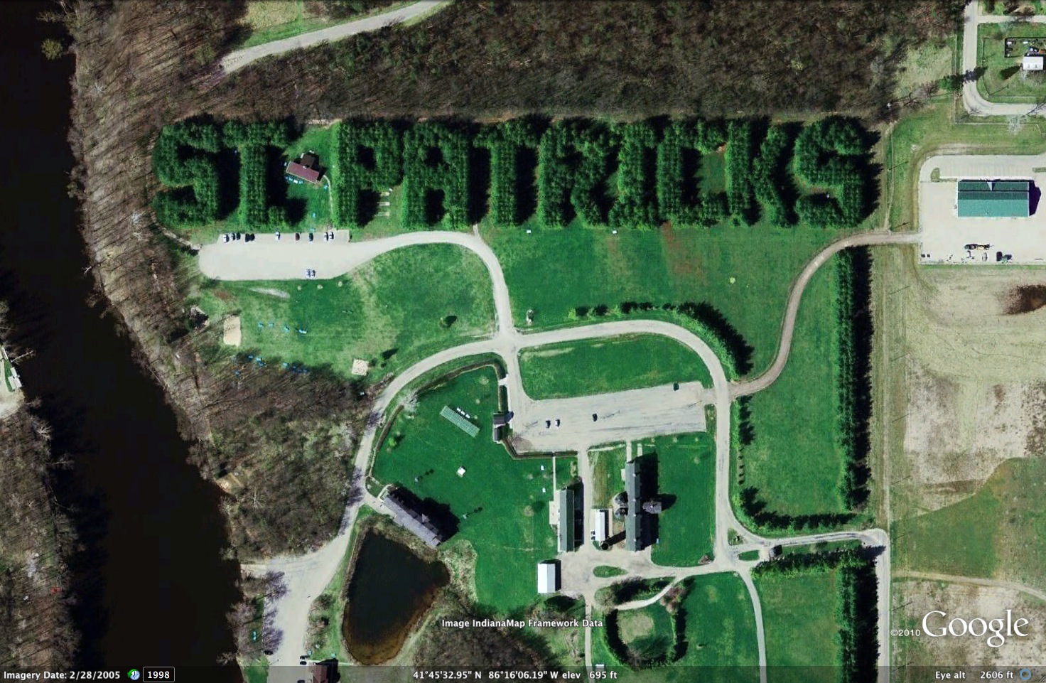
To get into the spirit, you can also play a Google Earth Tour to visit special places in Ireland and places around that world that celebrate this holiday. Fly to the Kilkenny Castle in 3D, see an exit ramp in the shape of a Shamrock, and visit an Irish village. We’ve also added the tour to the Google Earth Gallery so you can download the file and explore on your own.
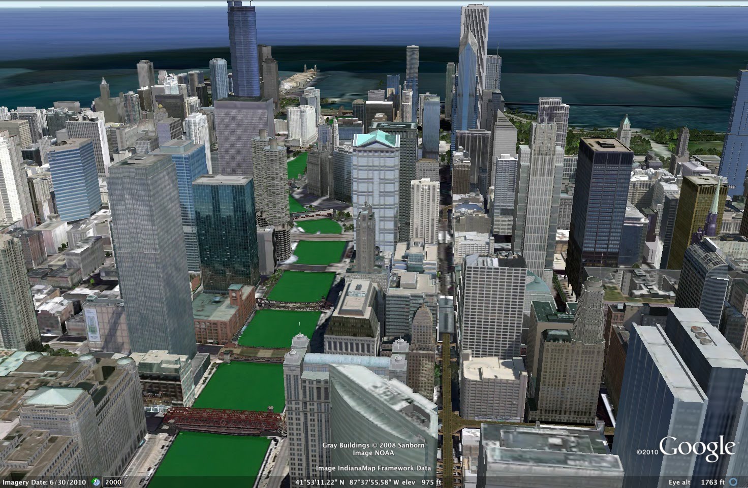
Every year, the Chicago river turns green for the St. Patrick’s Day Parade
For this Irish celebration, you can also add your own 3D buildings to Google Earth. With Google Building Maker, find your spot in Dublin, Ireland and quickly model a building using our photos. Or, try your hand at SketchUp and add your own creations to Google Earth anywhere in the world (buildings above were created by users).
So now we’ve given you plenty of ideas on how to celebrate this Irish holiday. Happy St. Patrick’s Day!